

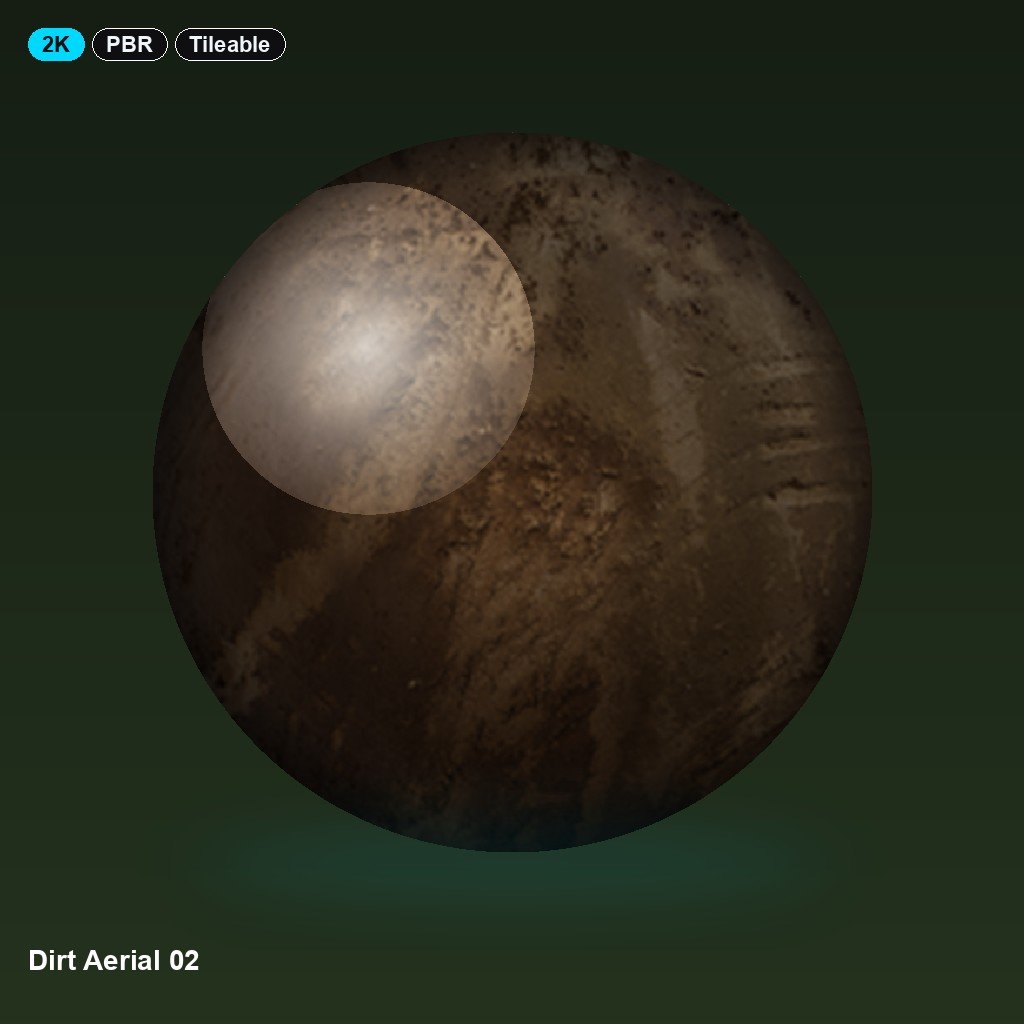
Dirt Aerial 02 reads as a stretch of compacted soil scored with tyre tracks and channels of erosion. The channel set, colour, normal, roughness, ambient occlusion and displacement, holds the rough, rutted ground under both flat and angled light. Maps are exported at up to 2K in JPG, tiling seamlessly with a documented normal direction. It works in Blender, Unreal, Unity, Cinema 4D, 3ds Max and Maya, and suits aerial establishing shots, construction sites and off-road terrain.
There are no reviews yet.